


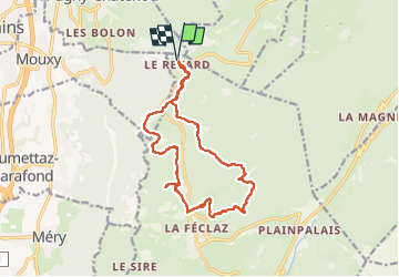

16,6 km | 24 km-effort

Usuario


Aplicación GPS de excursión GRATIS
 SityTrail
IGN / Institutos geográficos
SityTrail World
El mundo es suyo
Ruta Senderismo de 15,5 km a descubrir en Auvergne-Rhône-Alpes, Saboya, Les Déserts. Esta ruta ha sido propuesta por GuyCharvier.
Belle rando avec une partie de l'itinéraire hors sentier mais relativement facile, au retour halte au restaurant du Loup qui a un cadre magnifique.


Senderismo

Senderismo

Senderismo
Senderismo
Senderismo
Senderismo

Senderismo

Senderismo
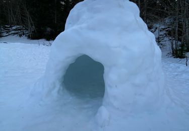
Raquetas de nieve